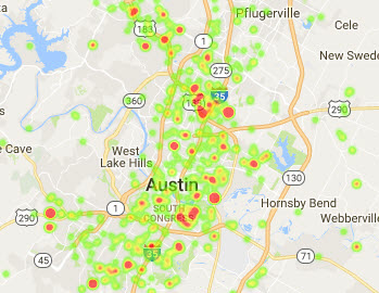
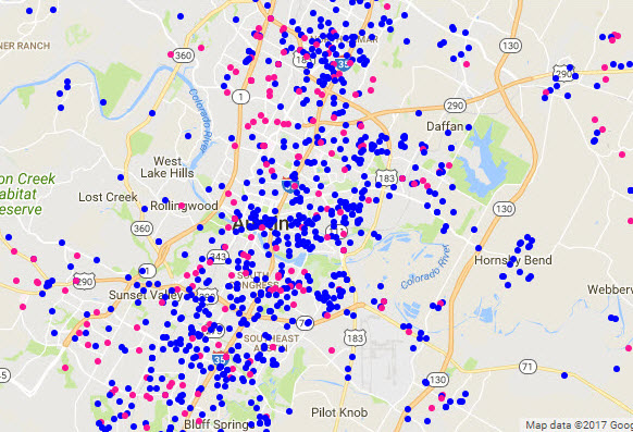
Animal Shelter Analysis in Austin
Data visualization of pet intakes at local animal shelters.
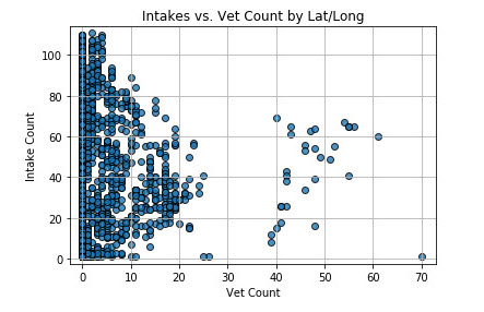
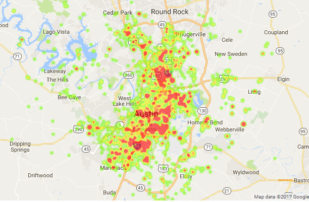
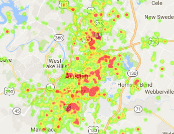
I worked with a group on Animal Shelter data analysis for Austin, TX and Louisville, KY. The Austin dataset we obtained from AustinTexas.gov included specific addresses of pet intakes. My role in the project was to analyze the locations of these intakes, to identify trends around:
- Animal types most frequently taken in by geographical area
- Difference between strays vs. animals in homes
- The effect of the proximity of veterinary services to the frequency of intakes
Visualizations
.jpg)