Google Maps heatmap: All animals
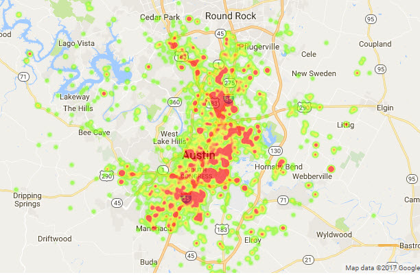
In general, the most animal intakes center around the I-35 corridor, with one large patch south of 290 near downtown, and another north of downtown near 183.
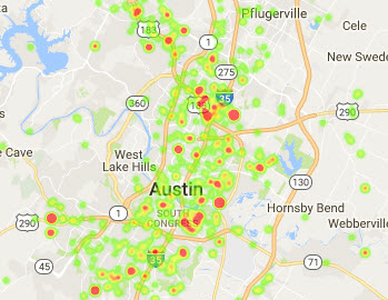
Visualizations
.jpg)
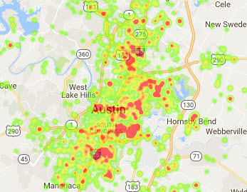
In general, the most animal intakes center around the I-35 corridor, with one large patch south of 290 near downtown, and another north of downtown near 183.