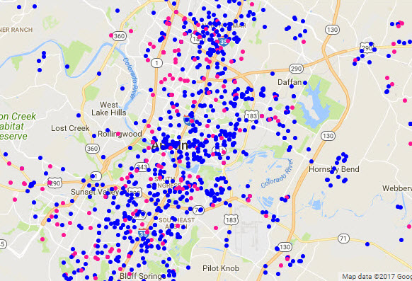
Google Maps scatter: Dogs & cats (2 of 2)
.jpg)
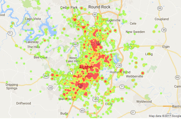
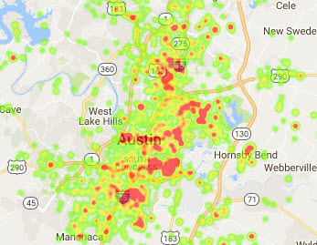
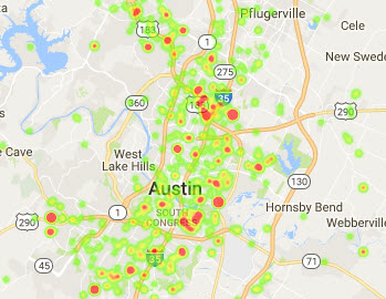
Dog intakes were more prevalent than cat intakes, and more concentrated in the downtown area, and around the I-35/71/183 corridors. Cat intakes tended to be a little more spread out than dog intakes.
Visualizations